Where to see the Malay Civet
Viverra tangalunga · mammal · Viverridae
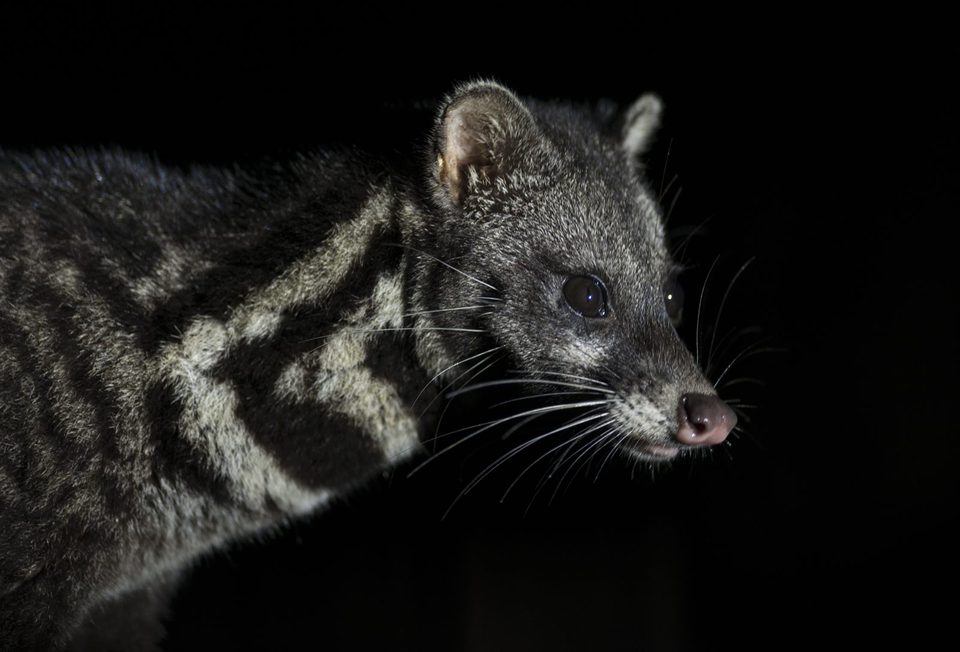
Malay Civet (Viverra tangalunga) is recorded in 6 protected areas and wildlife sites across 2 countries in our database. The places with the strongest evidence are Danum Valley Conservation Area (Malaysia), Deramakot Forest Reserve (Malaysia) and Taman Negara Pahang (Malaysia).
Where is the best place to see the Malay Civet?
Based on GBIF records and our guides, the best-documented places to see the Malay Civet are Danum Valley Conservation Area (Malaysia), Deramakot Forest Reserve (Malaysia) and Taman Negara Pahang (Malaysia). Most sites are in Malaysia (4) and Philippines (2). It appears in 3 trip reports in our library.
Top 6 places for the Malay Civet
| # | Place | Country | GBIF records | Years | Evidence |
|---|---|---|---|---|---|
| 1 | Danum Valley Conservation Area | Malaysia | 20 | 2009–2026 | Recorded on GBIF |
| 2 | Deramakot Forest Reserve | Malaysia | 6 | 1956–2023 | Recorded on GBIF |
| 3 | Taman Negara Pahang | Malaysia | 3 | 1999 | Recorded on GBIF |
| 4 | Mount Kanlaon Natural Park | Philippines | 3 | 1953–1962 | Recorded on GBIF |
| 5 | Mount Guiting-Guiting Natural Park | Philippines | 3 | 1992 | Recorded on GBIF |
| 6 | National Park Pahang | Malaysia | 3 | 1999 | Recorded on GBIF |
By country
Malaysia: 4 and Philippines: 2.
Seen on trips
The Malay Civet is recorded in these trip reports:
- Sabah Birding Trip Report: Bristleheads & Broadbills 2026 — Wise Birding Holidays
- Borneo's Rare Mammals Tour 2024 Trip Report — Royle Safaris
- Sabah, Borneo, July 2022 Trip Report — Jon Hall (mammalwatching.com)
In our guides
Read the full species account in our Borneo guide, Sumatra guide, Sulawesi guide, Singapore guide.
Take it with you
Build a free printable field guide or e-book for any of these places, with photos and a checklist.
Make a field guide for Danum Valley Conservation AreaPhoto: Mike Gordon — wildlifeofeverywhere.com, .
GBIF downloads: Malaysia, Philippines.
Data last updated 2026-11-05. Species–place links come from GBIF occurrence downloads (GBIF.org) matched to protected-area boundaries from OpenStreetMap (© OpenStreetMap contributors, ODbL) and other open boundary sources, plus places listed by our own guides. Record counts are what has been reported to GBIF, not population sizes. Reptiles and amphibians are never shown at park level. How this database works · Data sources and limits.